
南区 topographic map
Interactive map
Click on the map to display elevation.
About this map
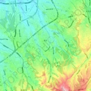
Name: 南区 topographic map, elevation, terrain.
Location: 南区, 堺市, 大阪府, 540-8570, 日本 (34.43015 135.46509 34.51409 135.54539)
Average elevation: 89 m
Minimum elevation: 17 m
Maximum elevation: 250 m
Other topographic maps
Click on a map to view its topography, its elevation and its terrain.