
Kazo topographic map
Interactive map
Click on the map to display elevation.
About this map
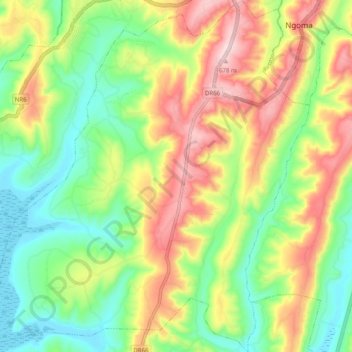
Name: Kazo topographic map, elevation, terrain.
Location: Kazo, Ngoma District, Eastern Province, Rwanda (-2.25883 30.44971 -2.15942 30.54220)
Average elevation: 1,472 m
Minimum elevation: 1,322 m
Maximum elevation: 1,684 m
Other topographic maps
Click on a map to view its topography, its elevation and its terrain.