
ᐄᔨᔨᐤ ᐊᔅᒌ ᒉᐃᒥᔅ ᐯᐃ Eeyou Istchee Baie-James topographic map
Interactive map
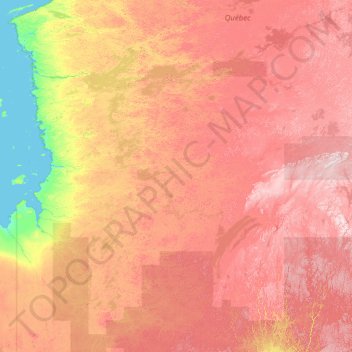
Click on the map to display elevation.
About this map
Name: ᐄᔨᔨᐤ ᐊᔅᒌ ᒉᐃᒥᔅ ᐯᐃ Eeyou Istchee Baie-James topographic map, elevation, terrain.
Average elevation: 232 m
Minimum elevation: -2 m
Maximum elevation: 842 m
Other topographic maps
Click on a map to view its topography, its elevation and its terrain.
Lebel-sur-Quévillon
Kanada > Québec > Jamésie > Lebel-sur-Quévillon
Lebel-sur-Quévillon, Jamésie, Nord-du-Québec, Quebec, J0Y 1X0, Kanada
Average elevation: 287 m