
Whakaari topographic map
Interactive map
Click on the map to display elevation.
About this map
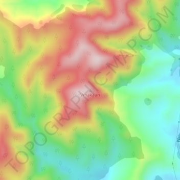
Name: Whakaari topographic map, elevation, terrain.
Location: Whakaari, Gisborne, New Zealand (-38.22805 178.23587 -38.22795 178.23597)
Average elevation: 210 m
Minimum elevation: 30 m
Maximum elevation: 423 m
Other topographic maps
Click on a map to view its topography, its elevation and its terrain.