
Banara topographic map
Interactive map
Click on the map to display elevation.
About this map
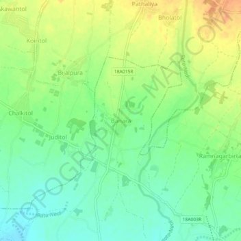
Name: Banara topographic map, elevation, terrain.
Location: Banara, Bhangaha, Mahottari, Madhesh Province, Nepal (26.87039 85.84598 26.91039 85.88598)
Average elevation: 118 m
Minimum elevation: 100 m
Maximum elevation: 140 m
Other topographic maps
Click on a map to view its topography, its elevation and its terrain.