
Les Trois Mares topographic map
Interactive map
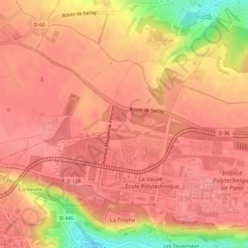
Click on the map to display elevation.
About this map
Name: Les Trois Mares topographic map, elevation, terrain.
Average elevation: 145 m
Minimum elevation: 81 m
Maximum elevation: 164 m
Other topographic maps
Click on a map to view its topography, its elevation and its terrain.
Plateau de Saclay
France > Île-de-France > Essonne > Saclay
Plateau de Saclay, Saclay, Palaiseau, Essonne, Île-de-France, France métropolitaine, 91400, France
Average elevation: 138 m