
Capel topographic map
Click on the map to display elevation.
About this map
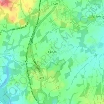
Name: Capel topographic map, elevation, terrain.
Location: Capel, Mole Valley, Surrey, England, RH5 5LQ, United Kingdom (51.13416 -0.34047 51.17416 -0.30047)
Average elevation: 91 m
Minimum elevation: 62 m
Maximum elevation: 169 m
Surrey trails, hiking, mountain biking, running and outdoor activities
Other topographic maps
Click on a map to view its topography, its elevation and its terrain.