
Fier topographic map
Interactive map
Click on the map to display elevation.
About this map
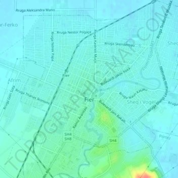
Name: Fier topographic map, elevation, terrain.
Location: Fier, Fier County, Southern Albania, Albania (40.71183 19.54282 40.74186 19.57994)
Average elevation: 18 m
Minimum elevation: 9 m
Maximum elevation: 68 m
Other topographic maps
Click on a map to view its topography, its elevation and its terrain.
Verri
Albania > Southern Albania > Fier County > Fier
Verri, Fier, Fier County, Southern Albania, 9016, Albania
Average elevation: 16 m