
Mt. Gassan topographic map
Interactive map
Click on the map to display elevation.
About this map
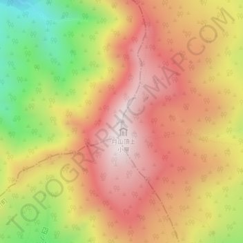
Name: Mt. Gassan topographic map, elevation, terrain.
Location: Mt. Gassan, Tsuruoka, Yamagata Prefecture, Tohoku, Japan (38.54849 140.02666 38.54859 140.02676)
Average elevation: 1,670 m
Minimum elevation: 1,232 m
Maximum elevation: 1,974 m