
Anlong Veng topographic map
Click on the map to display elevation.
About this map
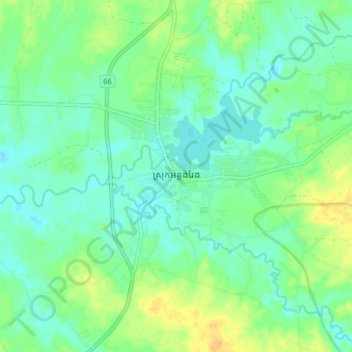
Name: Anlong Veng topographic map, elevation, terrain.
Location: Anlong Veng, Oddar Meanchey, Cambodia (14.19317 104.04120 14.27317 104.12120)
Average elevation: 55 m
Minimum elevation: 45 m
Maximum elevation: 73 m
Other topographic maps
Click on a map to view its topography, its elevation and its terrain.