
Burgruine Löwenstein topographic map
Interactive map
Click on the map to display elevation.
About this map
Name: Burgruine Löwenstein topographic map, elevation, terrain.
Average elevation: 861 m
Minimum elevation: 685 m
Maximum elevation: 1,484 m
Other topographic maps
Click on a map to view its topography, its elevation and its terrain.
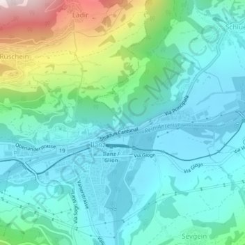
Ilanz/Glion
Schweiz > Graubünden > Ilanz/Glion
Ilanz/Glion, Surselva, Graubünden, Schweiz
Average elevation: 1,613 m