
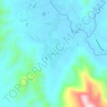
Kanbauk topographic map
Interactive map
Click on the map to display elevation.
About this map
Name: Kanbauk topographic map, elevation, terrain.
Average elevation: 81 m
Minimum elevation: 3 m
Maximum elevation: 510 m
Other topographic maps
Click on a map to view its topography, its elevation and its terrain.
Yebyu Township
Myanmar > Tanintharyi Region > Yebyu Township
Yebyu Township, Dawei District, Tanintharyi Region, Myanmar
Average elevation: 164 m