Geolocate

Aksy topographic map

Interactive map

Click on the map to display elevation.

About this map

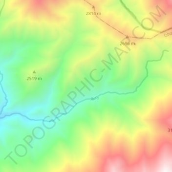
Name: Aksy topographic map, elevation, terrain.

Location: Aksy, Ohangaron Tumani, Tashkent Region, Uzbekistan (41.19959 70.17084 41.22052 70.23796)

Average elevation: 2,479 m

Minimum elevation: 1,864 m

Maximum elevation: 3,411 m

Other topographic maps

Click on a map to view its topography, its elevation and its terrain.

Uzunbulak

Uzbekistan > Tashkent Region > Ohangaron Tumani

Uzunbulak, Ohangaron Tumani, Tashkent Region, Uzbekistan

Average elevation: 1,274 m

Gulabad

Uzbekistan > Tashkent Region > Ohangaron Tumani

Gulabad, Ohangaron Tumani, Tashkent Region, Uzbekistan

Average elevation: 529 m

Angren

Uzbekistan > Tashkent Region > Ohangaron Tumani > Angren

Angren, Ohangaron Tumani, Tashkent Region, Uzbekistan

Average elevation: 1,047 m