Geolocate

Uzunbulak topographic map

Interactive map

Click on the map to display elevation.

About this map

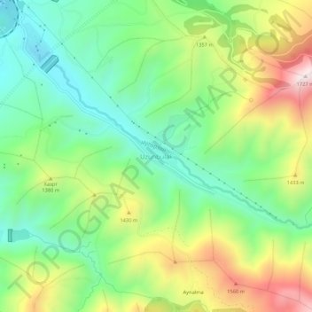
Name: Uzunbulak topographic map, elevation, terrain.

Location: Uzunbulak, Ohangaron Tumani, Tashkent Region, Uzbekistan (41.00578 70.21069 41.04578 70.25069)

Average elevation: 1,274 m

Minimum elevation: 1,006 m

Maximum elevation: 1,724 m

Other topographic maps

Click on a map to view its topography, its elevation and its terrain.

Gulabad

Uzbekistan > Tashkent Region > Ohangaron Tumani

Gulabad, Ohangaron Tumani, Tashkent Region, Uzbekistan

Average elevation: 529 m

Aksy

Uzbekistan > Tashkent Region > Ohangaron Tumani

Aksy, Ohangaron Tumani, Tashkent Region, Uzbekistan

Average elevation: 2,479 m

Angren

Uzbekistan > Tashkent Region > Ohangaron Tumani > Angren

Angren, Ohangaron Tumani, Tashkent Region, Uzbekistan

Average elevation: 1,047 m