
Staatswald Galm topographic map
Interactive map
Click on the map to display elevation.
About this map
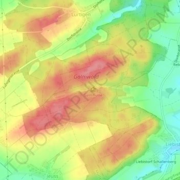
Name: Staatswald Galm topographic map, elevation, terrain.
Location: Staatswald Galm, Seebezirk, Freiburg, Schweiz (46.90252 7.16344 46.93077 7.19213)
Average elevation: 565 m
Minimum elevation: 515 m
Maximum elevation: 606 m
Other topographic maps
Click on a map to view its topography, its elevation and its terrain.