
Yeonsu-gu topographic map
Interactive map
Click on the map to display elevation.
About this map
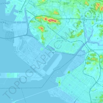
Name: Yeonsu-gu topographic map, elevation, terrain.
Location: Yeonsu-gu, Incheon, South Korea (37.33154 126.53335 37.44018 126.72237)
Average elevation: 10 m
Minimum elevation: -3 m
Maximum elevation: 212 m
Other topographic maps
Click on a map to view its topography, its elevation and its terrain.