
Shimotsuma topographic map
Interactive map
Click on the map to display elevation.
About this map
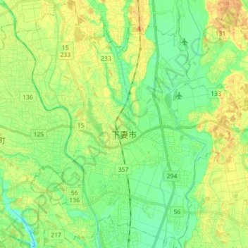
Name: Shimotsuma topographic map, elevation, terrain.
Location: Shimotsuma, Ibaraki Prefecture, Japan (36.13188 139.90547 36.24545 140.03825)
Average elevation: 26 m
Minimum elevation: 11 m
Maximum elevation: 44 m