Geolocate

Melang topographic map

Click on the map to display elevation.

About this map

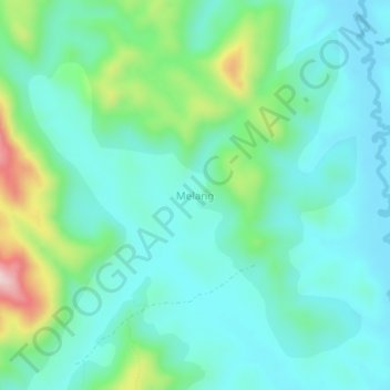
Name: Melang topographic map, elevation, terrain.

Location: Melang, Zhoa, Menchum, Northwest, Cameroon (6.53475 10.03601 6.57475 10.07601)

Average elevation: 1,086 m

Minimum elevation: 1,011 m

Maximum elevation: 1,343 m

Other topographic maps

Click on a map to view its topography, its elevation and its terrain.

Wum

Cameroon > Northwest > Menchum

Average elevation: 987 m

Gear up for your next adventure:

🔋Power Banks - Portable chargers for long outdoor trips
🐕Hiking Dog Harnesses - Rugged harnesses for taking your companion on mountain trails
🗺️Ordnance Survey Maps - Essential paper maps for hiking across the UK national parks
🎒Hiking Daypacks - Compact backpacks ideal for short hikes and excursions
🦯Walking Poles - Supportive poles for long-distance walking

As an Amazon Associate, this site earns from qualifying purchases at no extra cost to you.