
Kinlet topographic map
Click on the map to display elevation.
About this map
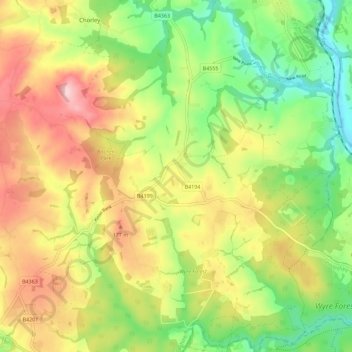
Name: Kinlet topographic map, elevation, terrain.
Location: Kinlet, Shropshire, England, United Kingdom (52.38151 -2.44690 52.45071 -2.33359)
Average elevation: 118 m
Minimum elevation: 22 m
Maximum elevation: 230 m
Shropshire trails, hiking, mountain biking, running and outdoor activities
Other topographic maps
Click on a map to view its topography, its elevation and its terrain.
Minton
United Kingdom > England > Shropshire > Church Stretton > Little Stretton
Average elevation: 272 m