
Videmonte topographic map
Interactive map
Click on the map to display elevation.
About this map
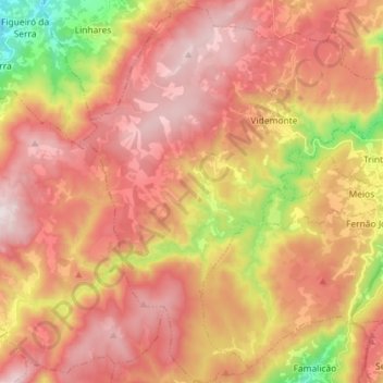
Name: Videmonte topographic map, elevation, terrain.
Location: Videmonte, Guarda, Portugal (40.43984 -7.46731 40.54904 -7.34781)
Average elevation: 1,009 m
Minimum elevation: 539 m
Maximum elevation: 1,318 m
Other topographic maps
Click on a map to view its topography, its elevation and its terrain.