
Agona topographic map
Interactive map
Click on the map to display elevation.
About this map
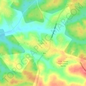
Name: Agona topographic map, elevation, terrain.
Location: Agona, Sekyere South District, Ashanti Region, Ghana (6.91597 -1.51186 6.95597 -1.47186)
Average elevation: 287 m
Minimum elevation: 259 m
Maximum elevation: 321 m
Other topographic maps
Click on a map to view its topography, its elevation and its terrain.
Agona-Bipoa
Ghana > Ashanti Region > Sekyere South District
Agona-Bipoa, Sekyere South District, Ashanti Region, Ghana
Average elevation: 289 m