Geolocate

Colonial Beach topographic map

Click on the map to display elevation.

About this map
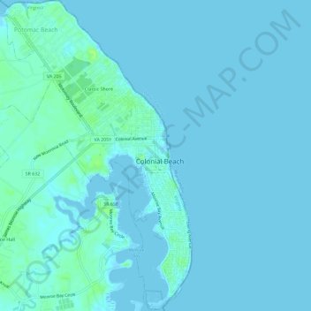
Name: Colonial Beach topographic map, elevation, terrain.

Location: Colonial Beach, Westmoreland County, Virginia, United States (38.22943 -77.00399 38.27469 -76.95692)

Average elevation: 2 m

Minimum elevation: -3 m

Maximum elevation: 13 m

Other topographic maps

Click on a map to view its topography, its elevation and its terrain.

Oldhams

United States > Virginia > Westmoreland County

Average elevation: 36 m

Hague

United States > Virginia > Westmoreland County

Average elevation: 23 m

Hinnom

United States > Virginia > Westmoreland County

Average elevation: 13 m

Gear up for your next adventure:

👖Hiking Trousers - Durable trousers designed for rough terrain
🧴Tick Removal Tools - Small, essential health tool for UK woodland and moorland
🧵Survival Paracord - Multi-purpose cordage for emergency repairs and shelters
👟Men's Trail Running Shoes - Lightweight grip for fast movement over topographic contours
🕶️Glacier Goggles - Maximum protection for high-altitude snow topography

As an Amazon Associate, this site earns from qualifying purchases at no extra cost to you.