
ຊ່ອນ topographic map
Interactive map
Click on the map to display elevation.
About this map
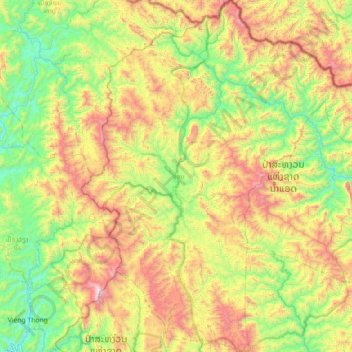
Name: ຊ່ອນ topographic map, elevation, terrain.
Location: ຊ່ອນ, Hua Phan, Laos (20.15372 103.15908 20.82627 103.68333)
Average elevation: 1,053 m
Minimum elevation: 429 m
Maximum elevation: 2,240 m
Other topographic maps
Click on a map to view its topography, its elevation and its terrain.