
Ann Township topographic map
Interactive map
Click on the map to display elevation.
About this map
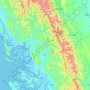
Name: Ann Township topographic map, elevation, terrain.
Location: Ann Township, Kyaukpyu District, Rakhine, 07151, Myanmar (19.27638 93.67407 20.57079 94.38266)
Average elevation: 271 m
Minimum elevation: -5 m
Maximum elevation: 1,922 m
Other topographic maps
Click on a map to view its topography, its elevation and its terrain.