
Eisenerz topographic map
Interactive map
Click on the map to display elevation.
Eisenerz
A few miles northwest of Eisenerz stands Leopoldstein Castle, and near it Leopoldstein Lake. This lake, with its dark green water at an elevation of 2,028 feet (618 m), and surrounded on all sides by high peaks, is not large and has a depth of 100 ft (30 m).
About this map
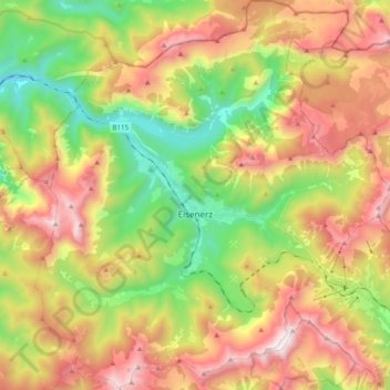
Name: Eisenerz topographic map, elevation, terrain.
Location: Eisenerz, Bezirk Leoben, Styria, 8790, Austria (47.48237 14.80499 47.61450 14.98340)
Average elevation: 1,283 m
Minimum elevation: 555 m
Maximum elevation: 2,139 m
Other topographic maps
Click on a map to view its topography, its elevation and its terrain.