
Tallmadge topographic map
Interactive map
Click on the map to display elevation.
About this map
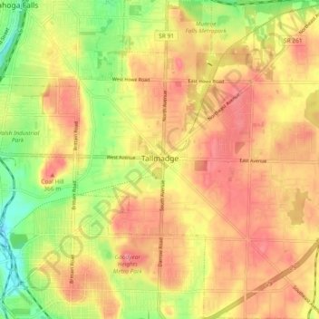
Name: Tallmadge topographic map, elevation, terrain.
Location: Tallmadge, Summit County, Ohio, 44278, United States (41.06633 -81.46575 41.13579 -81.37630)
Average elevation: 340 m
Minimum elevation: 286 m
Maximum elevation: 377 m
Other topographic maps
Click on a map to view its topography, its elevation and its terrain.