
Roavvegieddi topographic map
Interactive map
Click on the map to display elevation.
About this map
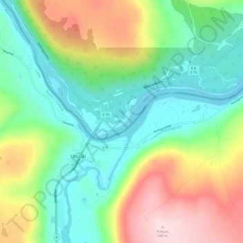
Name: Roavvegieddi topographic map, elevation, terrain.
Location: Roavvegieddi, Tana, Troms og Finnmark, Norway (69.89320 27.02601 69.93320 27.06601)
Average elevation: 156 m
Minimum elevation: 57 m
Maximum elevation: 340 m
Other topographic maps
Click on a map to view its topography, its elevation and its terrain.