
Senja topographic map
Click on the map to display elevation.
About this map
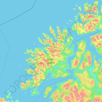
Name: Senja topographic map, elevation, terrain.
Location: Senja, Troms og Finnmark, Norway (68.95195 16.25435 69.81154 18.54880)
Average elevation: 122 m
Minimum elevation: -2 m
Maximum elevation: 1,352 m
Other topographic maps
Click on a map to view its topography, its elevation and its terrain.
Breivikeidet - Guohcavuopmi
Norway > Troms og Finnmark > Tromsø > Breivikeidet - Guohcavuopmi
Average elevation: 202 m