
Umm Bayuda el Humeira topographic map
Interactive map
Click on the map to display elevation.
About this map
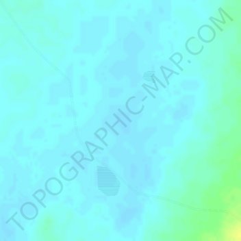
Name: Umm Bayuda el Humeira topographic map, elevation, terrain.
Location: Umm Bayuda el Humeira, Mellit, North Darfur State, Sudan (14.83781 27.02261 14.83791 27.02271)
Average elevation: 675 m
Minimum elevation: 671 m
Maximum elevation: 691 m
Other topographic maps
Click on a map to view its topography, its elevation and its terrain.
Mellit
Sudan > North Darfur State > Mellit > Mellit
Mellit, North Darfur State, Sudan
Average elevation: 925 m