
衡水湖 topographic map
Interactive map
Click on the map to display elevation.
About this map
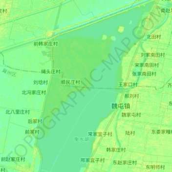
Name: 衡水湖 topographic map, elevation, terrain.
Location: 衡水湖, 衡水市, 河北省, 053000, 中国 (37.56473 115.56903 37.66073 115.65343)
Average elevation: 22 m
Minimum elevation: 16 m
Maximum elevation: 28 m
Other topographic maps
Click on a map to view its topography, its elevation and its terrain.