
武邑县 topographic map
Interactive map
Click on the map to display elevation.
About this map
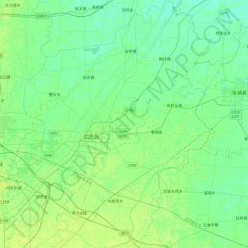
Name: 武邑县 topographic map, elevation, terrain.
Location: 武邑县, 衡水市, 河北省, 053400, 中国 (37.62705 115.74758 38.00890 116.11924)
Average elevation: 20 m
Minimum elevation: 15 m
Maximum elevation: 26 m
Other topographic maps
Click on a map to view its topography, its elevation and its terrain.