
Cité Verte topographic map
Interactive map
Click on the map to display elevation.
About this map
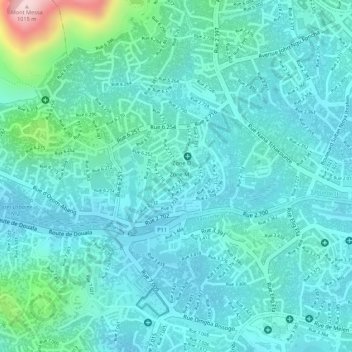
Name: Cité Verte topographic map, elevation, terrain.
Average elevation: 760 m
Minimum elevation: 708 m
Maximum elevation: 997 m
Other topographic maps
Click on a map to view its topography, its elevation and its terrain.
Yaoundé II
Cameroun > Région du Centre > Mfoundi > Yaoundé
Yaoundé II, Yaoundé, Mfoundi, Région du Centre, Cameroun
Average elevation: 799 m