
Villa Lobos topographic map
Interactive map
Click on the map to display elevation.
About this map
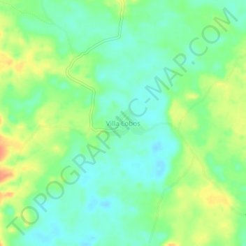
Name: Villa Lobos topographic map, elevation, terrain.
Location: Villa Lobos, Caquetá, Colombia (1.61418 -74.58184 1.65418 -74.54184)
Average elevation: 248 m
Minimum elevation: 232 m
Maximum elevation: 273 m
Other topographic maps
Click on a map to view its topography, its elevation and its terrain.
Chiribiquete (Macizo Central)
Chiribiquete National Park is situated in the western region of the Guiana Shield, east of the Eastern Cordillera, north of the Amazonian plains, west of the Upper Río Negro, and south of the savannas of the Orinoquía. Elevations in the park range from about 200 to 1,000 metres above sea level. It contains…
Average elevation: 290 m
Puerto Rico
The island is mostly mountainous with large coastal areas in the north and south. The main mountain range is called "La Cordillera Central" (The Central Range). The highest elevation in Puerto Rico, Cerro de Punta 4,390 feet (1,340 m), is located in this range.
Average elevation: 846 m