Geolocate

Twin Oaks topographic map

Interactive map

Click on the map to display elevation.

About this map

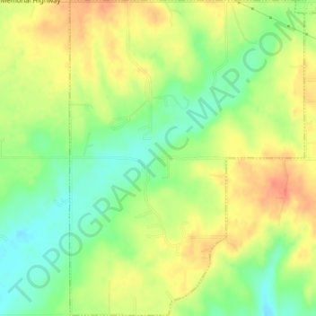
Name: Twin Oaks topographic map, elevation, terrain.

Location: Twin Oaks, Delaware County, Oklahoma, United States (36.17617 -94.83320 36.20522 -94.80637)

Average elevation: 341 m

Minimum elevation: 315 m

Maximum elevation: 364 m

Other topographic maps

Click on a map to view its topography, its elevation and its terrain.

Kansas

United States > Oklahoma > Delaware County

Kansas, Delaware County, Oklahoma, United States

Average elevation: 354 m

Eucha

United States > Oklahoma > Delaware County > Eucha

Eucha, Delaware County, Oklahoma, United States

Average elevation: 312 m

Jay

United States > Oklahoma > Delaware County > Jay

Jay, Delaware County, Oklahoma, United States

Average elevation: 306 m

Colcord

United States > Oklahoma > Delaware County > Colcord

Colcord, Delaware County, Oklahoma, United States

Average elevation: 347 m