
Berane topographic map
Interactive map
Click on the map to display elevation.
About this map
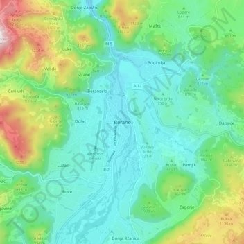
Name: Berane topographic map, elevation, terrain.
Location: Berane, Berane Municipality, 84300, Montenegro (42.80683 19.83405 42.88683 19.91405)
Average elevation: 849 m
Minimum elevation: 644 m
Maximum elevation: 1,444 m
Other topographic maps
Click on a map to view its topography, its elevation and its terrain.
BJELASICA
Montenegro > Berane Municipality
BJELASICA, Berane Municipality, Montenegro
Average elevation: 1,744 m