
Bayangam topographic map
Interactive map
Click on the map to display elevation.
About this map
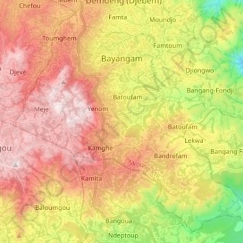
Name: Bayangam topographic map, elevation, terrain.
Location: Bayangam, Nkoung-Khi, West, Cameroon (5.20485 10.40526 5.32209 10.53606)
Average elevation: 1,502 m
Minimum elevation: 1,026 m
Maximum elevation: 1,909 m
Other topographic maps
Click on a map to view its topography, its elevation and its terrain.