
Hawley topographic map
Click on the map to display elevation.
Hawley
Hawley is located where Middle Creek enters the Lackawaxen River, at 41°28′42″N 75°10′45″W / 41.47833°N 75.17917°W / 41.47833; -75.17917 (41.478225, -75.179154) at an elevation of 1,033 feet (314.9 m). Hawley students attend Wallenpaupack Areas Schools, with high, middle, and primary schools approximately five miles from town and located on the shores of Lake Wallenpaupack. Some kindergarten children attended school in the former Hawley High School, a WPA project and located in the borough, up until a few years ago when they were transferred back to the primary school.
About this map
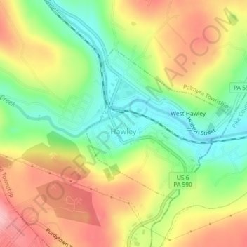
Name: Hawley topographic map, elevation, terrain.
Location: Hawley, Wayne County, Pennsylvania, United States (41.46853 -75.18762 41.48497 -75.16686)
Average elevation: 334 m
Minimum elevation: 259 m
Maximum elevation: 416 m
Other topographic maps
Click on a map to view its topography, its elevation and its terrain.
Forest City Station
United States > Pennsylvania > Wayne County > Clinton Township
Average elevation: 531 m
Cascade
United States > Pennsylvania > Wayne County > Mount Pleasant Township
Average elevation: 483 m