
広面字堤敷 topographic map
Interactive map
Click on the map to display elevation.
About this map
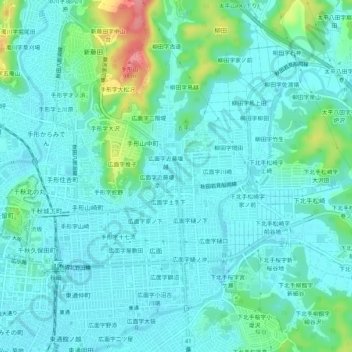
Name: 広面字堤敷 topographic map, elevation, terrain.
Location: 広面字堤敷, Akita, Akita Prefecture, 010-0041, Japan (39.70744 140.12752 39.74744 140.16752)
Average elevation: 21 m
Minimum elevation: 4 m
Maximum elevation: 93 m