
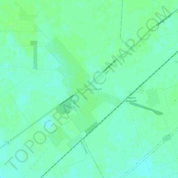
Aleksa Santic topographic map
Interactive map
Click on the map to display elevation.
About this map
Name: Aleksa Santic topographic map, elevation, terrain.
Average elevation: 120 m
Minimum elevation: 115 m
Maximum elevation: 125 m
Other topographic maps
Click on a map to view its topography, its elevation and its terrain.
Deronje
Serbia > Vojvodina > West Backa Administrative District > Odzaci Municipality
Average elevation: 83 m
Apatin
Serbia > Vojvodina > West Backa Administrative District > Apatin Municipality
Average elevation: 85 m
Kula
Serbia > Vojvodina > West Backa Administrative District > Kula Municipality > Kula
Average elevation: 89 m
City of Sombor
Serbia > Vojvodina > West Backa Administrative District > City of Sombor
Average elevation: 93 m