
National Botanic Garden of Wales topographic map
Interactive map
Click on the map to display elevation.
About this map
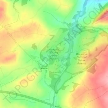
Name: National Botanic Garden of Wales topographic map, elevation, terrain.
Average elevation: 90 m
Minimum elevation: 28 m
Maximum elevation: 151 m