
Kanifing topographic map
Click on the map to display elevation.
About this map
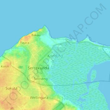
Name: Kanifing topographic map, elevation, terrain.
Location: Kanifing, Kanifing Municipal Council, The Gambia (13.41794 -16.71933 13.48929 -16.58582)
Average elevation: 6 m
Minimum elevation: -1 m
Maximum elevation: 30 m
Other topographic maps
Click on a map to view its topography, its elevation and its terrain.