
Piani di Praglia topographic map
Interactive map
Click on the map to display elevation.
About this map
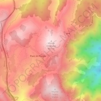
Name: Piani di Praglia topographic map, elevation, terrain.
Location: Piani di Praglia, Ceranesi, Gênes, Ligurie, Italie (44.49417 8.78862 44.53417 8.82862)
Average elevation: 798 m
Minimum elevation: 372 m
Maximum elevation: 1,072 m
Other topographic maps
Click on a map to view its topography, its elevation and its terrain.