
Bakool topographic map
Interactive map
Click on the map to display elevation.
About this map
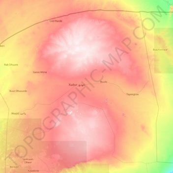
Name: Bakool topographic map, elevation, terrain.
Location: Bakool, Somalie (3.25000 42.88415 4.95044 44.80000)
Average elevation: 452 m
Minimum elevation: 153 m
Maximum elevation: 733 m
Other topographic maps
Click on a map to view its topography, its elevation and its terrain.