
Matlock topographic map
Click on the map to display elevation.
About this map
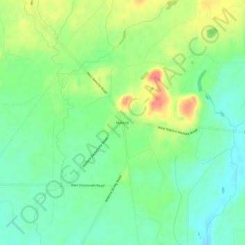
Name: Matlock topographic map, elevation, terrain.
Location: Matlock, Mason County, Washington, 98560, United States (47.21787 -123.42794 47.25787 -123.38794)
Average elevation: 133 m
Minimum elevation: 107 m
Maximum elevation: 177 m
Other topographic maps
Click on a map to view its topography, its elevation and its terrain.