
Sayghan topographic map
Interactive map
Click on the map to display elevation.
About this map
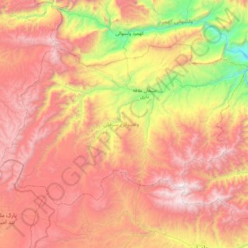
Name: Sayghan topographic map, elevation, terrain.
Location: Sayghan, Bamyan Province, Afghanistan (34.92148 67.27099 35.29830 67.97950)
Average elevation: 2,955 m
Minimum elevation: 1,484 m
Maximum elevation: 4,362 m
Other topographic maps
Click on a map to view its topography, its elevation and its terrain.
Yakawlang
Yakawlang, Bamyan Province, Afghanistan
Average elevation: 3,273 m