
Bar Nunn topographic map
Interactive map
Click on the map to display elevation.
About this map
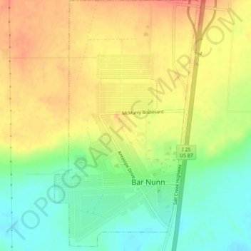
Name: Bar Nunn topographic map, elevation, terrain.
Location: Bar Nunn, Natrona County, Wyoming, United States (42.90485 -106.35920 42.93646 -106.33487)
Average elevation: 1,619 m
Minimum elevation: 1,591 m
Maximum elevation: 1,643 m
Other topographic maps
Click on a map to view its topography, its elevation and its terrain.
Casper
United States > Wyoming > Natrona County
Casper, Natrona County, Wyoming, United States
Average elevation: 1,635 m
Casper
United States > Wyoming > Natrona County > Casper
Casper, Natrona County, Wyoming, 82601, United States
Average elevation: 1,727 m
Casper Mountain
United States > Wyoming > Natrona County
Casper Mountain, Natrona County, Wyoming, United States
Average elevation: 2,315 m
Midwest
United States > Wyoming > Natrona County
Midwest, Natrona County, Wyoming, United States
Average elevation: 1,482 m