
Léba topographic map
Interactive map
Click on the map to display elevation.
About this map
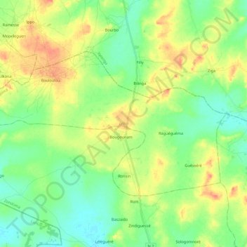
Name: Léba topographic map, elevation, terrain.
Location: Léba, Zondoma, North, Burkina Faso (13.31167 -2.51380 13.43526 -2.29674)
Average elevation: 337 m
Minimum elevation: 319 m
Maximum elevation: 365 m
Other topographic maps
Click on a map to view its topography, its elevation and its terrain.
Koala
Koala, Nagréongo, Oubritenga, Central-Plateau, Burkina Faso
Average elevation: 289 m
Koupéla
Koupéla, Sabou, Boulkiemdé, Central-West, Burkina Faso
Average elevation: 293 m
Petebarabe
Petebarabe, Falagountou, Séno, Sahel, Burkina Faso
Average elevation: 265 m
Fada N'Gourma
Fada N'Gourma, Gourma, East, Burkina Faso
Average elevation: 302 m