
汤丹镇 topographic map
Interactive map
Click on the map to display elevation.
About this map
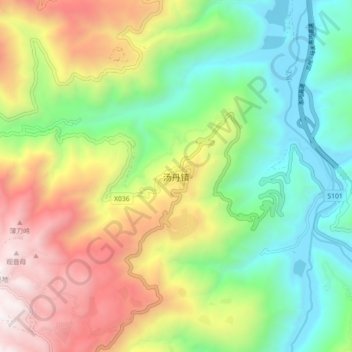
Name: 汤丹镇 topographic map, elevation, terrain.
Location: 汤丹镇, 昆明市, 云南省, 中国 (26.15154 103.02584 26.23154 103.10584)
Average elevation: 1,843 m
Minimum elevation: 1,077 m
Maximum elevation: 3,042 m
Other topographic maps
Click on a map to view its topography, its elevation and its terrain.