
轿子山 topographic map
Interactive map
Click on the map to display elevation.
About this map
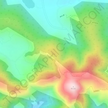
Name: 轿子山 topographic map, elevation, terrain.
Location: 轿子山, 昆明市, 云南省, 中国 (25.05254 102.52286 25.05264 102.52296)
Average elevation: 2,255 m
Minimum elevation: 2,090 m
Maximum elevation: 2,492 m
Other topographic maps
Click on a map to view its topography, its elevation and its terrain.