
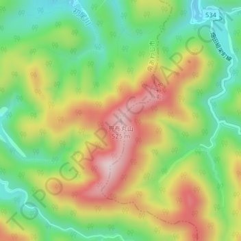
兜布丸山 topographic map
Interactive map
Click on the map to display elevation.
About this map
Name: 兜布丸山 topographic map, elevation, terrain.
Location: 兜布丸山, Sumoto, Hyogo Prefecture, Japan (34.27743 134.83721 34.27753 134.83731)
Average elevation: 297 m
Minimum elevation: 121 m
Maximum elevation: 519 m